
LiDAR Mapping for Clearer Site Planning Before a Commercial Property Purchase
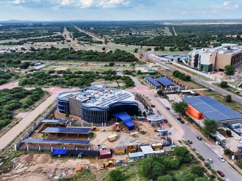
A piece of commercial land can look flat and ready to build on. The truth may be very different once someone actually measures the ground. Slopes, low spots and drainage paths often hide in plain sight until they get mapped.
LiDAR mapping gives buyers a clear, accurate picture of a site before money changes hands. This matters, where older lots, hilly terrain and drainage problems can create costly surprises for anyone who skips this step.
Evaluating Site Conditions Before Committing to a Property
Buying commercial land without good site data is a real gamble. A property that looks buildable on paper can hide steep slopes, wet spots or weak soil.
LiDAR mapping uses laser scanning from a plane or drone to capture the exact shape of the ground. It measures thousands of elevation points across the whole site. This creates a detailed picture of slopes, high points, low points and the way water flows across the land.
Buyers get this data early, often before the purchase deal is final. That timing matters a lot. Problems found after closing cost far more to fix than problems caught during due diligence.
Common site issues LiDAR mapping can find include:
- Steep or uneven ground that affects where you can build
- Low spots where water tends to pool
- Natural drainage paths that cross the property
Using LiDAR Mapping to Test Preliminary Development Concepts
Once the terrain data comes in, developers can test different building layouts against the real shape of the land. This happens well before final engineering drawings get made.
A LiDAR-based terrain model shows how a proposed building, parking lot or driveway would sit on the actual ground. Instead of guessing, developers can see where big grading work would be needed and where the land already supports easier building.
This early testing helps answer real questions:
- Does the site support the planned building without a lot of extra fill or digging?
- Where should parking go to avoid steep slopes?
- Will the layout cause drainage problems for the properties next door?
Many commercial lots sit near older infrastructure or next to homes. Testing the layout early helps avoid conflicts with neighbors or local drainage rules.
Identifying Terrain Constraints That Could Affect Site Layout
Terrain constraints are physical features of the land that limit what you can build and where. LiDAR mapping spots these constraints with more accuracy than a simple site visit.
land includes areas with heavy clay soil, rolling hills and closeness to water like the Genesee River and nearby creeks. These conditions can affect drainage, foundation design and grading in ways you can’t always see just by walking the site.
LiDAR data helps spot:
- Areas with poor natural drainage
- Slopes too steep for normal building or parking
- Low areas that may need extra stormwater work
Wetlands or floodplain zones may need a separate study beyond LiDAR data. If a site sits near a mapped floodplain or wetland, check with local or state agencies to see if extra review is required before you finish your development plans.
Comparing Site Alternatives Before the Purchase Decision
Many commercial buyers look at more than one property before picking where to invest. LiDAR mapping makes it easier to compare sites fairly.
Instead of relying on how a site looks during a walkthrough, buyers can compare real terrain data across several properties. This shows which site needs less grading work, which one drains better and which one has more usable, buildable space.
This comparison can change the whole outcome of a purchase decision. A property with a lower price tag might actually cost more to prepare once you look at the terrain data. A pricier site might end up costing less to develop overall.
Look at LiDAR data alongside zoning rules, setback rules and parking minimums for each site. This gives you a clearer idea of total project cost before you sign a purchase agreement.
Moving From LiDAR Data Into Detailed Site Design
LiDAR mapping is a strong first step, but it does not replace a full site survey once a property purchase moves forward. After closing, a licensed surveyor usually performs a topographic survey to confirm the exact measurements needed for engineering and permits.
The LiDAR data collected during due diligence often feeds right into this next step. This saves time and cuts down on repeated work. Site engineers and architects use the combined data to finish grading plans, drainage design and building placement.
Check with your surveyor and design team on how the LiDAR data will be used later in the process. Rules can vary by city, project size and the level of detail needed for permits in Monroe County or the City of Rochester.
Frequently Asked Questions
How accurate is LiDAR mapping compared to a traditional survey?
LiDAR mapping is very accurate for capturing large-scale terrain data, but it usually does not replace a licensed topographic or boundary survey. Final engineering and permits usually need survey-grade accuracy at specific points.
How long does LiDAR mapping take for a commercial site?
Timelines depend on the site size, how complex the terrain is and the weather during data collection. A simple, open site may take less time than a large or heavily wooded lot.
Can LiDAR mapping detect underground utilities?
No. LiDAR mapping only captures what’s on the surface. Underground utilities need separate locating methods. Confirm this early if utility conflicts are a concern.