
Drone Land Surveying Before Installing Solar Panels on a Commercial Property
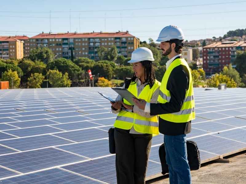
A solar project looks simple on paper. Panels, sun, savings. But the ground under it tells a different story. That story decides if your project goes smoothly or hits costly surprises.
Drone land surveying gives commercial property owners a fast, clear look at their site before any solar work starts. It catches problems that blueprints and satellite photos miss. For property owners planning solar in the area, this step can save real money and real time.
Why Solar Projects Need Accurate Site Data First
Solar panel systems depend on exact site facts. Roof slope, ground height, shade and building strength all affect how many panels fit and how much power they make.
Without accurate data, a solar design team is stuck guessing. This leads to layouts that don’t match real conditions, permit delays, or systems that don’t work as well once built.
A mix of older commercial buildings, changing weather and uneven land. This makes accurate site data even more important. A roof that looks flat from the ground may have small slopes that change panel angle and drainage. A drone survey catches these details before design work starts.
Getting this information early keeps your project on schedule. It also gives your solar engineer real numbers to work with instead of guesses.
Using Drone Surveys to Evaluate Solar Installation Areas
A drone survey uses a flying drone with cameras and sensors to capture detailed pictures and measurements of a property. For solar projects, this means mapping the exact spot where panels will go, whether on a roof or on the ground.
The drone flies a set path over the site and takes hundreds or thousands of photos. These photos get turned into detailed maps and models. The maps show height, surface conditions and existing structures.
This method works faster than ground surveying for big roofs or open land. It also catches details a person on foot might miss, like full roof condition or drainage patterns across a large site.
What a Drone Survey Typically Captures for Solar Projects
Most drone surveys for solar installs include:
- High-quality aerial photos of the site
- Height data showing slope and grade
- Roof condition and structure layout
- Obstructions like vents, HVAC units or trees
- Property lines and setback points
Ask your surveyor which data your solar engineer needs. This can change based on project size and panel type.
Identifying Terrain, Obstructions, and Site Constraints
Land shape and obstructions affect where solar panels can go and how well they work. A drone survey shows these facts clearly, giving your design team a true picture of the site.
On ground-mounted systems, land shape matters a lot. Slopes, low spots that collect water, and soil type all affect where panels can go and how the system gets built. Freeze-thaw cycles and seasonal rain make drainage a real concern for ground-mounted solar sites.
Trees, nearby buildings or rooftop equipment can create shade that cuts panel output. A drone survey maps these obstructions and their shadows through the day. This helps your team pick panel spots that avoid big shading losses.
Site limits also include setbacks, easements and paths needed for repairs. A drone survey paired with boundary facts helps confirm your solar layout fits within these limits before construction starts.
Supporting Solar Design With Detailed Survey Information
Solar engineers need accurate site data to build a system that works well and meets local rules. Drone survey data feeds right into this design work.
Height and slope data help engineers find the best panel angle for power output. Roof details help confirm the building can hold the weight of the planned system. Boundary and setback data help confirm the layout meets local zoning and permit rules.
This data also helps with the permit process itself. Many towns and cities, including those near, require site plans with accurate measurements before they approve commercial solar projects. A detailed drone survey gives your design team what they need to get these plans right the first time.
Check with your solar contractor and local permit office which survey details they need. This can change by project size and by city or county.
Reducing Development Risks Before Solar Construction Begins
Every solar project carries some risk. Accurate site data cuts down the most common and costly ones. Catching a drainage problem, a weight limit or a boundary issue before construction saves far more than fixing it mid-project.
Drone surveys give property owners a clear picture of what’s possible on their site before they spend money on full design work. This helps you avoid a system that gets designed, then has to be redone after a site problem shows up.
For commercial property owners, this step also helps with long-term planning. Accurate site data can help with future growth, repair access and other property upgrades beyond the first solar install.
Survey needs can change by property type, system size and local permit rules. Confirm your survey plan early, especially if your project timeline depends on permit approval or financing deadlines.